Dun Laoghaire on Google Earth
Google have updated a lot of the maps on the Earth system recently. Fortunately, Dun Laoghaire (and much more of South Dublin) is now available in very high resolution.
The pictures appear to have been taken some day last winter around mid-day (long shadows pointing North).
I can make out my house and the SITA office very clearly, not to mention boats in the marina, the cars in Crofton Ford and on the roads, etc.
For some reason Maps is lagging behind.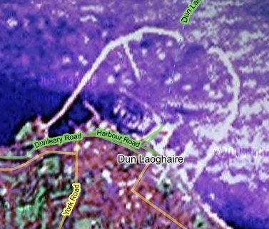
posted by Mark Lenahan at 5:48 pm
![]()
![]()

0 Comments:
Post a Comment
<< View Complete Blog